How to Visit Galon Fortress: Access, Parking and What to See
Galon Fortress combines a compact archaeological site with a forest picnic stop. The site reopened in October 2026 with accessible parking and a new path to the fortress.
Start with the destination name: Galon Fortress, or Gal'on, near Kibbutz Galon in Guvrin Forest. This is a site in the Judean foothills, not the Golan Heights. Saving the Hebrew name, מצודת גלאון, alongside the English spelling can help avoid choosing the wrong destination in a navigation search.
Find the Approach From Route 353
KKL's picnic site page directs drivers to a turn roughly 400 metres east of the entrance to Kibbutz Galon on Route 353. From there, turn south and follow the access road for about 750 metres to the site parking area. Follow the signs rather than navigating to the kibbutz entrance.
Check KKL's current visitor notices before departure, and see our weather forecast and warnings guide for the journey.
Use the Newer Accessibility Information
KKL's older route article, published in 2020, describes the archaeological visit as inaccessible. Its October 29, 2026 reopening announcement is newer and says the works added accessible parking and an accessible path to the fortress, alongside renewed signage and visitor infrastructure.
If access is essential, ask KKL about the route from the parking space to the viewing area and any uneven sections.
Look at the Layout Before the Details
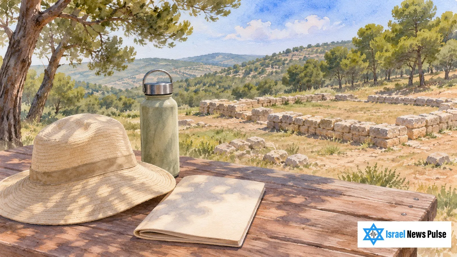
KKL describes the fortress as approximately 18 metres square, with courtyards and surrounding rooms. Its archaeological account identifies thick stone foundations and mud brick walls above them that did not survive.
Begin by finding the entrance and the outlines of rooms. Low surviving walls can be easier to understand when read as a floor plan. The explanatory signs show which parts are original and which are conservation work.
Put the Remains in Context
KKL and the Israel Antiquities Authority date the fortress to the middle of the 12th century BCE. Archaeologists Saar Ganor and Itamar Weissbein interpret its position as strategic, overlooking the route between the coastal plain and the Judean foothills.
For a separate day exploring objects in museum collections, the Israel Museum visit guide covers a different way to approach the region's past.
Plan the Picnic Separately
KKL lists picnic tables beside the fortress. Pack what you need, and check with KKL about toilets and drinking water.